



Drone Show Safety and Technical Trust: How Professional Shows Are Actually Built
RTK-GPS, geofencing, collision-avoidance telemetry, and regulatory permits explained. How a professional drone show company builds the safety architecture that makes large-scale shows above public crowds technically sound.
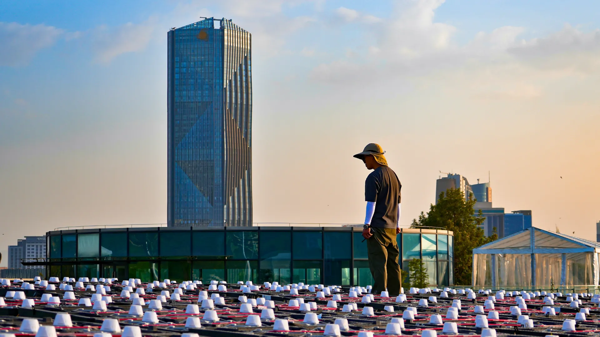
A drone light show places between 300 and 1,500 autonomous aircraft in the same airspace, within metres of each other, above an audience of thousands. Every serious event organiser asks the same question before signing a contract: how does the technology actually prevent a mid-air collision or a drone falling on the crowd? The answer is a layered safety architecture that combines RTK-GPS precision, collision-avoidance telemetry, redundant show-control systems, and geofencing, all operating simultaneously in real time from the moment the first drone leaves the ground.
How RTK-GPS Keeps Drones Within Centimetres of Their Target Position
Standard GPS positioning is accurate to within 3 to 5 metres. That margin is adequate for navigation but unusable for drone shows, where aircraft operate in tight formations at separations of 2 to 5 metres. RTK-GPS (Real-Time Kinematic GPS) corrects this by using a fixed ground station as a reference point, transmitting correction data to each drone in real time and reducing positional error to ±2 centimetres. At that precision level, a 500-drone sphere formation can maintain its shape with each aircraft knowing its position within a fraction of the space between it and its neighbour.
RTK-GPS is the baseline technical requirement that makes professional drone shows safe to operate above public audiences. MIRS Drone Show’s fleet operates exclusively on RTK-GPS positioning. Any operator that cannot confirm RTK-GPS infrastructure in their production specification is not operating at professional safety standards.
What Happens When a Drone Malfunctions Mid-Show
Every professional drone show aircraft carries independent malfunction response logic that operates regardless of ground station connectivity. If a drone detects a hardware failure, whether a motor fault, battery drop below threshold, or communication loss exceeding a set interval, it executes a pre-programmed failsafe sequence without waiting for a ground command. It holds position, then descends vertically to a designated safe landing zone outside the audience area, following a pre-planned exclusion corridor defined during the site survey.
The show continues with the remaining drones. The choreography software adjusts the formation in real time to fill the gap while the malfunctioning unit lands safely away from the crowd. Ground crew stationed at the landing zones recover the unit without interrupting the performance. The audience typically notices nothing.
Geofencing: How It Keeps Drones Away From the Crowd
Geofencing in a drone show is a set of three-dimensional virtual boundaries programmed into every aircraft’s flight controller before the show. The primary fence defines the performance volume, the airspace within which the choreography operates. A second exclusion zone, typically extending 30 to 50 metres beyond the performance boundary, covers the audience area, staging, and any obstructions identified during the site survey.
If any drone’s RTK-GPS position data indicates it is approaching the exclusion zone boundary, whether due to wind drift, a software anomaly, or a hardware fault, the aircraft’s onboard controller overrides the choreography commands and executes an automated return-to-safe-zone sequence. This override is autonomous. It does not require a ground station command and cannot be suppressed by the show-control software. The boundary enforcement is hardware-level.
How Show-Control Software Manages 1,000 Drones at Once
Professional drone show choreography runs on a synchronised show-control system that broadcasts timing, position, and formation data to every aircraft simultaneously over a dedicated radio network. Each drone receives its own positional waypoints for every second of the performance, typically at update rates of 10 to 50 times per second, and executes them relative to its RTK-GPS-confirmed position.
The show-control network operates on redundant radio channels. If the primary channel experiences interference, the backup channel maintains synchronisation without any gap the pilot would notice. Ground stations monitor telemetry from all aircraft in parallel, covering battery level, GPS fix quality, motor temperature, and communication latency, and flag anomalies in real time. A show operator can abort the entire performance with a single command, triggering simultaneous safe-landing sequences across the full fleet within seconds.
Pre-Show Safety Procedures
The visible performance represents roughly 10 percent of the total technical work involved in a safe drone show. The unseen preparation includes:
- Site survey — physical measurement of the performance site, obstacle mapping (trees, structures, powerlines, broadcast towers), wind pattern assessment, and confirmation of emergency landing zones at least 72 hours before the event.
- Airspace coordination — formal permit applications with the relevant civil aviation authority (CAAM in Malaysia, CAAS in Singapore, DGCA in Indonesia), including NOTAM (Notice to Airmen) filing to clear the airspace of other aircraft during the show window.
- Fleet pre-flight checks — every aircraft undergoes individual motor, battery, GPS fix quality, and communication checks before the fleet is armed. Any unit that fails a pre-flight check is removed from the formation and replaced with a reserve unit.
- Dress rehearsal simulation — full choreography is run in simulation against the site model before the live event, verifying that all formation transitions, speed changes, and altitude shifts conform to the safety parameters defined for that specific site.
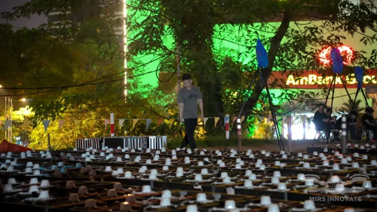
- Ground crew positioning — trained ground crew are stationed at each designated landing zone during the live performance, equipped with communication to the show operator and with emergency procedures for any aircraft that lands outside the standard recovery zone.
Regulatory Approvals for Drone Shows in Southeast Asia
Drone show operations in Southeast Asia require formal authorisation from the national civil aviation authority in each country. In Malaysia, this is CAAM (Civil Aviation Authority of Malaysia). In Singapore, CAAS (Civil Aviation Authority of Singapore). In Indonesia, DGCA (Directorate General of Civil Aviation). In Thailand, CAAT (Civil Aviation Authority of Thailand). In the Philippines, CAAP (Civil Aviation Authority of the Philippines).
Applications typically require operator certification, aircraft registration, site coordinates and airspace volume specification, a safety management plan, public liability insurance confirmation, and NOTAM filing. Lead times for approval range from 2 to 6 weeks depending on the country and the complexity of the airspace. Attempting to operate a commercial drone show without this documentation is a criminal aviation offence in all Southeast Asian jurisdictions.
MIRS Drone Show handles the full regulatory compliance process, including permit applications, NOTAM filing, authority coordination, and insurance documentation, as a standard part of every engagement. Contact MIRS Drone Show to discuss permit timelines for your event location. For technical details on what a production covers from a cost perspective, see the drone show cost and planning guide.
Frequently Asked Questions: Drone Show Safety
Are drone shows safe to operate over large crowds?
Yes, when operated by a certified professional company using RTK-GPS positioning, geofencing, autonomous failsafe systems, and the full regulatory permit package. The combination of ±2 cm positional precision, hardware-enforced exclusion zones, and per-aircraft failsafe logic means that even a multi-unit malfunction scenario has a safe automated response. MIRS Drone Show has operated shows across Southeast Asia and internationally with an uninterrupted safety record.
What is the minimum safe distance between drones and the audience?
The standard minimum horizontal separation between the performance zone boundary and the audience area is 30 metres for shows below 200 metres altitude. For larger fleet operations above 200 metres, the exclusion buffer typically extends to 50 metres or more, determined by site-specific wind assessment and the civil aviation authority’s approval conditions for that event. These distances are enforced by geofencing, not physical barriers alone.
What happens to the drone show if it rains or winds are too strong?
Professional show drones carry IP-rated weather sealing and can operate in light to moderate rain. Wind is the more significant constraint. Shows are typically paused or postponed if sustained wind speed exceeds 8 to 10 metres per second at show altitude, as wind drift at those speeds can exceed the correction capacity of the RTK-GPS system. The show operator monitors real-time meteorological data and makes the go/no-go call based on live site conditions, not forecast data.
How long does it take to get a drone show permit in Malaysia?
CAAM permit processing for a commercial drone show in Malaysia typically takes 3 to 4 weeks from a complete application. Applications require operator certification, aircraft registration numbers, site coordinates and airspace volume, a safety management plan, and insurance documentation. MIRS Drone Show recommends beginning the permit process at least 6 weeks before the event date to allow time for any authority queries or site-specific conditions. Kuala Lumpur city centre carries additional airspace restrictions that may extend the timeline.
Planning a drone show?
MIRS Drone Show creates bespoke drone light shows for corporate events, launches, celebrations and festivals, with creative and operational planning tailored to each venue and project.